On the night of January 31, 1941, Josef Jakobs descended by parachute just southeast of the sleepy village of Ramsey, Huntingdonshire.
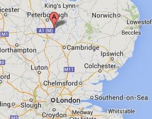
His descent in the darkness was unnoticed. His capture the following morning was inevitable given that he had broken his ankle either departing the aircraft or upon landing in a potato field. He was discovered on the morning of February 1 by two farmers walking to work who heard the shots that Jakobs fired from his pistol.
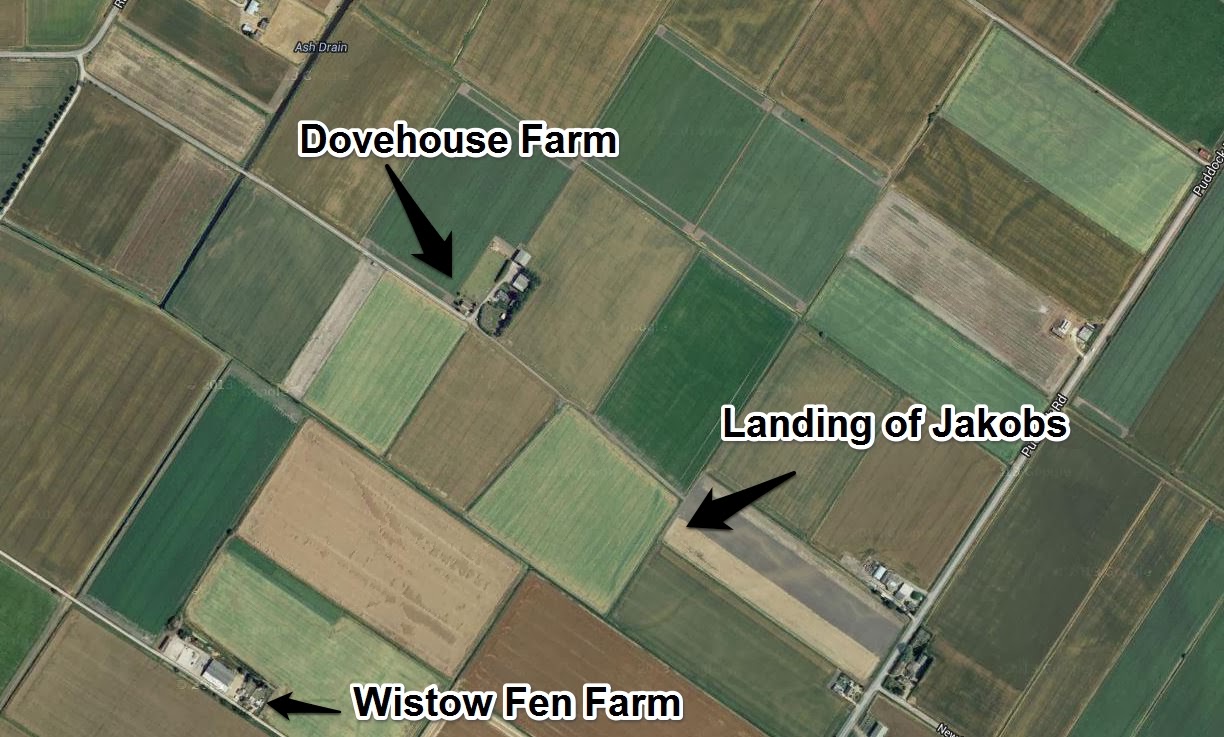
Various documents and first-hand accounts from 1941 mention several geographical features marking Jakobs’ landing site.
- Ash Drain
- Ramsey Hollow
- Dovehouse Farm
- Wistow Fen Farm
This information is all helpful for gleaning a general idea of where Jakobs landed. A map published on the RAF Upwood site shows the general location of Dovehouse Farm and the site of Jakobs’ landing.
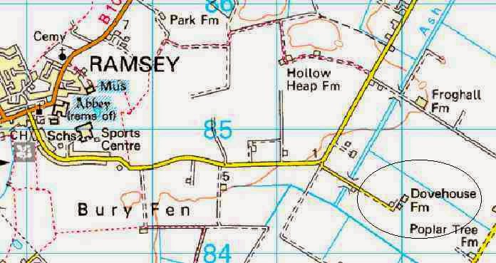
In 1976, Winston Ramsey of After the Battle Magazine, traced Josef’s landing point to a specific location on Dovehouse Farm, probably with the assistance of locals who still remembered the memorable event.
The exact location of Jakobs’ landing is also contained within MI5 files at the National Archives. According to one of the documents, Jakobs landed:
Grid bearing 135 degrees from Dovehouse Farm. Distance 500 yards. Map Reference 778031 – Sheet 75, 1″=1 mile
The map referred to is a military map and apparently very few remain in existence. The bearing and distance from Dovehouse Farm do however provide enough information to identify Jakobs landing point with a fair degree of certainty.
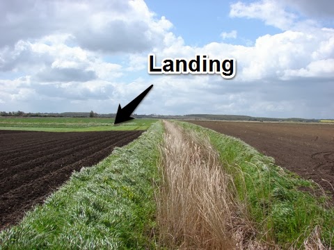
In January 2010, Winston Ramsey graciously took me on a tour to the village of Ramsey. I was able to visit the village and the surrounding countryside around the same time of year that Jakobs would have landed at Dovehouse Farm. Not much has changed in those 60 years between 1941 and 2010. Farmers still tilled their soil and planted crops.The cold wind still blew over open fen. It was a wonder that the Germans thought that any spy dressed in a business suit would have managed to blend into village life and succeed in his mission.
N.B. I’ve published a few other blogs on the landing site of Josef Jakobs, one of them using the Cassini Code. And another one here.
Header image – “Stukeley Sky 2” by kitmasterbloke is licensed under CC BY 2.0
On the internet is a map reference translator that gives accurate modern positions to wartime grid references. It is called the Co-ordinates translator
and the reference you quote is for British Cassini Grid system. you have to know the two letters (always one in lower case first then a capital) that precede the six numbers, in this case w F, to get the centre of a 100 yd square in which an event occurred. eight figure references narrow this to a ten yd square but they are very rare.
Hi, Thanks for the comment. I had a look at the original MI5 document and the reference does not contain any letters before the six digit code. It's just 778031. I had a look at another document which gave the coordinates for Dove House Farm but there too, all it had was: F.751017 to 791070. But… I see that you suggested it is wF778031 which leads us to the right potato field, but a different spot. But, as you say, the 6 digit code gives us the centre of a 100 yard square. Thanks!